Guatemala Interoceanic Corridor – GIC

The Project

A 372-kilometer strategic axis uniting the Atlantic and the Pacific through a last-generation multimodal transport system.

A visionary axis for
world trade

The Guatemala Interoceanic Corridor – GIC is a private infrastructure project designed to connect Guatemala’s Atlantic and Pacific coasts through a multimodal transport system. It will be developed over a strip of land 372 kilometers long and 140 meters wide, uniting the Atlantic and Pacific coasts. Through a last-generation Multimodal Transport System, the Corridor is designed to optimize logistics and the movement of goods, driving industrial, commercial and complementary-service development across the region.

Connecting two oceans across 372 kilometers.

Assets of the Corridor

Five assets, one single strip

Each asset can be developed with different partners, under a common master plan.

  1. Port terminals

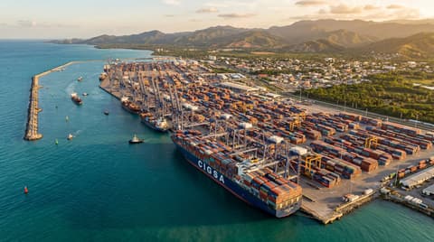
    Terminal 1 at Puerto San Luis (Pacific) and Terminal 2 at Puerto San Jorge (Atlantic), for Post-Panamax, Super Post-Panamax and ULCV vessels.

  2. Railway

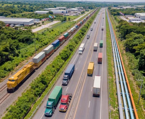
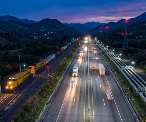
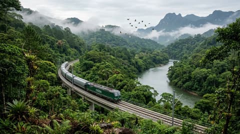
    Coast-to-coast double-track railway for container freight, with provision for passengers.

  3. Pipelines and linear services

    Right-of-way reserved for energy and water pipelines, power transmission and fiber optics.

  4. Highway

    Toll highway for freight and vehicle traffic between the zones of the Corridor.

  5. Logistics and industrial parks

    Logistics centers in San Luis and San Jorge, and industrial and commercial parks suitable for the free-zone regime.

Global reach

Solving global challenges

The Guatemala Interoceanic Corridor will benefit not only the local economy, but will also offer a strategic answer to global economic problems. By offering a direct logistics route between the Atlantic and the Pacific, the Corridor aims to position Guatemala as a key point in world trade.

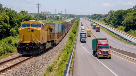
  • Rendering: freight train with containers running beside a highway with trucks
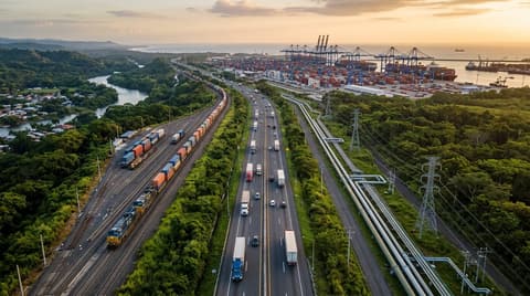
  • Rendering: aerial view of the railway, highway and pipelines side by side, with logistics warehouses
  • Rendering: the corridor at dusk, with train, highway traffic and pipelines between mountains
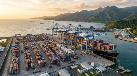
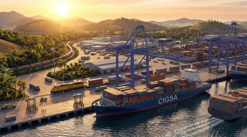
  • Rendering: aerial view of a container port with a ship at the dock
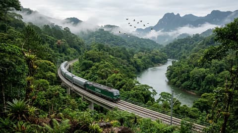
  • Rendering: train crossing a viaduct through forest next to a river

Transforming communities, connecting dreams.

Social & Economic Impact

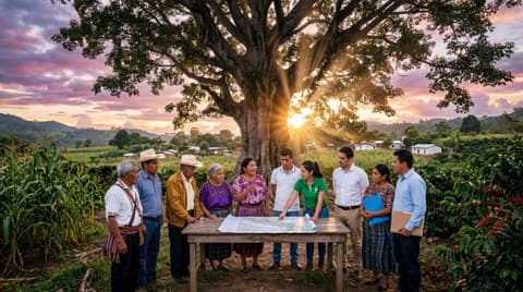
For more than 25 years, the Corridor team has worked to secure the necessary land and build an inclusive, transformative project. Landowners, community leaders and local authorities have joined this vision and become shareholders.

Read more: Social & Economic Impact
Environmental Impact

An efficient multimodal system reduces reliance on road transport and CO2 emissions, with continuous monitoring and ecosystem-conservation programs along the route.

Read more: Environmental Impact

Full project information

The institutional website of the Guatemala Interoceanic Corridor – GIC is cigsagu.com.

Visit cigsagu.com (opens in a new tab)